
Greenbrae · Tuesday, October 27, 2026
Greenbrae roads flood Tue 10:15 AM–3:15 PM
Tide scrubber
Tue, Oct 27 12:24 PM
Tide
7.6 ft
Floods Tue, Oct 27 10:15 AM–3:15 PM
Peak 12:24 PM- Fifer Avenue
- Lucky Drive
- Redwood Highway
- Riviera Circle
- Doherty Drive
At the peak · 12:24 PM
5 streets at flood level
- Fifer AvenueSevere
- Lucky DriveSevere
- Redwood HighwaySevere
- Riviera CircleLikely
- Doherty DrivePossible
Window 10:15 AM–3:15 PM · peak effective tide 7.63 ft at the Sausalito gauge.
Sausalito · ft above MLLW
High tides
- 1:31 AM6.0 ft
- 12:25 PM7.6 ft
Neighbor photos · 4
What Greenbrae looked like
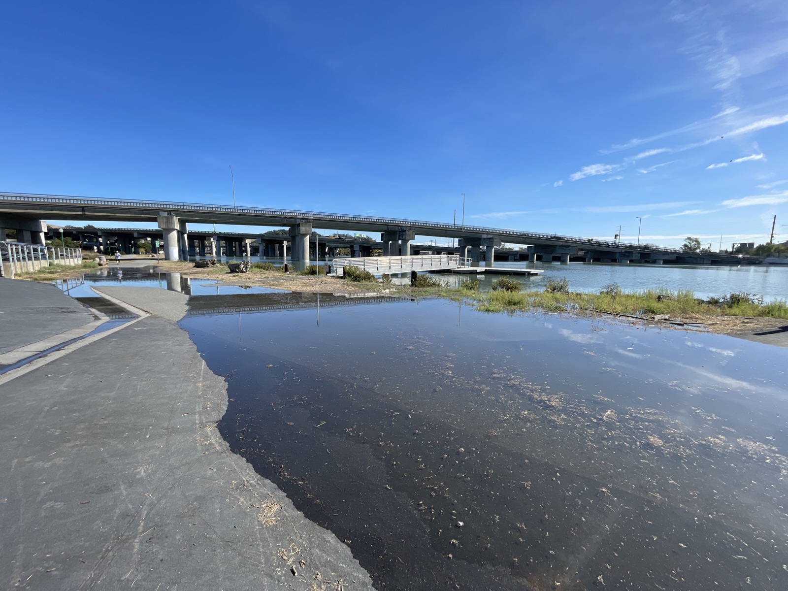 Flooded
 · Ramp, Greenbrae
🏁 First on the street
Oct 27, 12:10 PM · 7.6 ft tide · Windy-Anchor-62
 Flooded
 · Elizabeth Circle, Greenbrae
🏁 First on the street👑 Keeper
Oct 27, 12:20 PM · 7.6 ft tide · Windy-Anchor-62
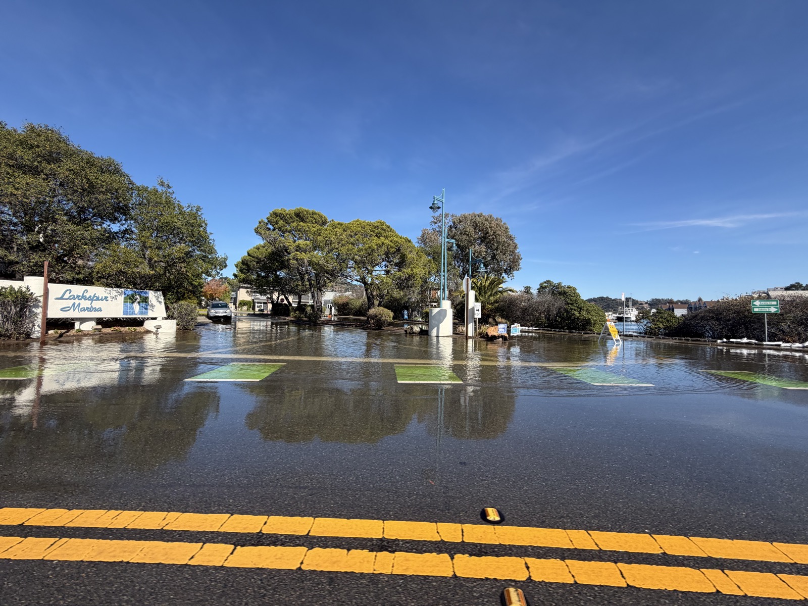 Impassable
 · Doherty Dr, Greenbrae
🏁 First on the street👑 Keeper
Oct 27, 12:50 PM · 7.6 ft tide · Splashy-Otter-75
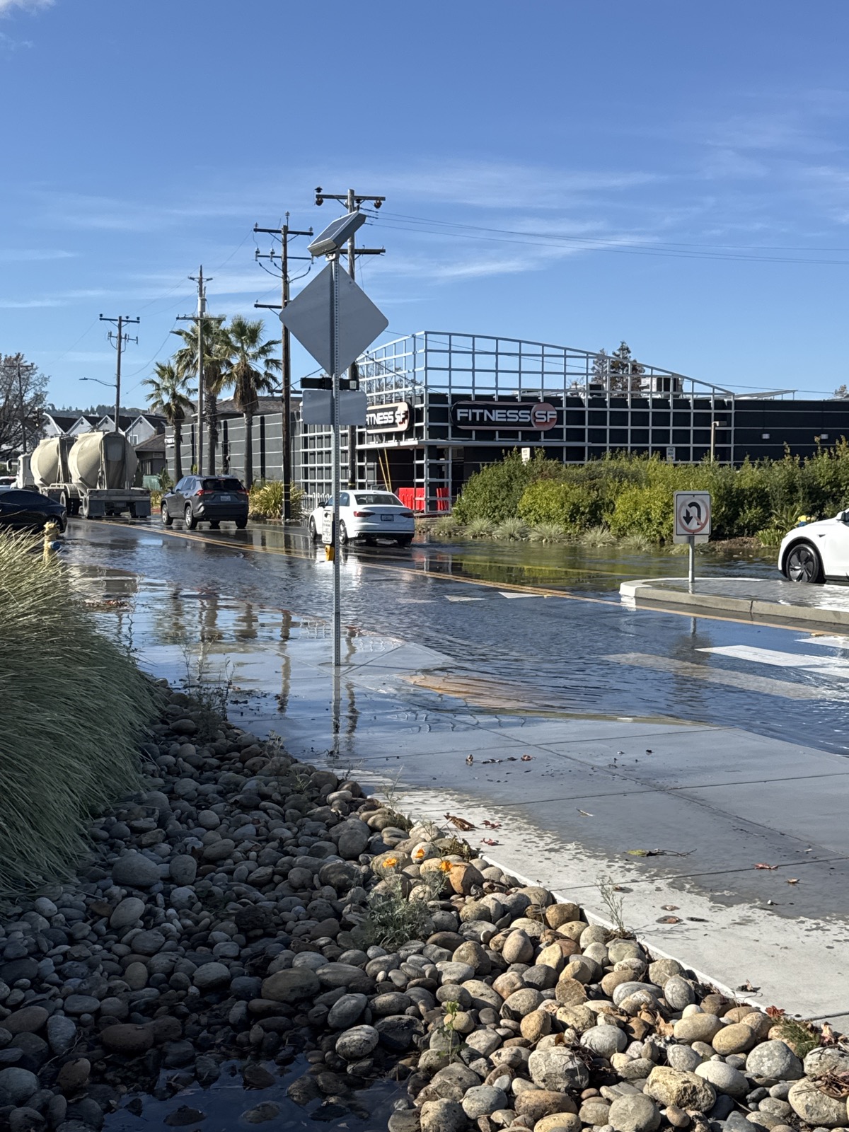 Flooded
 · Fifer Ave, Greenbrae
🏁 First on the street👑 Keeper
Oct 27, 3:04 PM · 5.1 ft tide · Sunny-Anchor-43
In the order they were taken. Posted by FloodRoute users; never go into flood water for a photo.
Call it · 12:25 PM high tide · 5 calls
The San Francisco gauge hit 7.85 ft
FloodRoute forecast 7.68 ft, 0.17 ft off. 3 neighbors beat it.
- 1Splashy-Otter-757.82 ft · 0.03 ft off
- 2King-Marsh-907.70 ft · 0.15 ft off
- 3King-Wader-487.70 ft · 0.15 ft off
- 4Wavy-Otter-677.65 ft · 0.20 ft off
- 5Coastal-Channel-547.60 ft · 0.25 ft off